

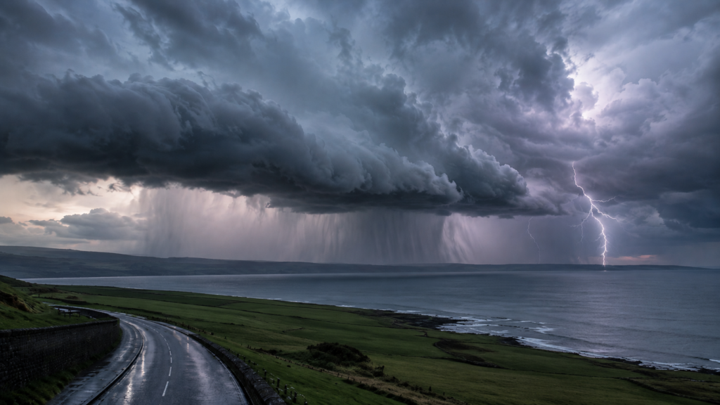
Yellow thunderstorm warning issued for Northern Ireland with flash flooding possible
♪
Listen to this article
Hear this story, then continue listening to NIO Radio.
Ready to play.
Article audio is not available in this browser.
A yellow thunderstorm warning for Northern Ireland is in force from 12 noon until 11.59pm today, Wednesday 19 August 2026.
Heavy showers could bring 15mm to 20mm of rain in less than an hour, while some locations could see up to 30mm in a couple of hours.
Flash flooding, difficult driving conditions, hail and lightning are all possible.
Heavy showers and thunderstorms could cause flash flooding and travel disruption across Northern Ireland today after the Met Office issued a yellow weather warning.
The yellow thunderstorm warning for Northern Ireland came into force at 12 noon on Wednesday 19 August and remains active until 11.59pm tonight.
Residents can check the latest warning information on the Met Office UK weather warnings page.
All six Northern Ireland counties covered
The warning covers:
- County Antrim
- County Armagh
- County Down
- County Fermanagh
- County Londonderry
- County Tyrone
The warning was issued by the Met Office at 9.34am on Wednesday 19 August 2026.
Heavy thunderstorms moving across Northern Ireland
A band of heavy showers is expected to move across Northern Ireland from west to east during the late morning and early afternoon.
Further slow-moving heavy showers and thunderstorms are expected to develop later in the day.
Rainfall is expected to be the main hazard.
The Met Office says around 15mm to 20mm of rain could fall within an hour or less.
A few locations could receive 25mm to 30mm in a couple of hours.
Hail and lightning are also likely in some places.
The latest regional forecast is available on the Met Office Northern Ireland forecast page.
Yellow thunderstorm warning: what could happen?
The Met Office says the weather could lead to:
- Difficult driving conditions caused by spray or standing water
- Hail affecting some roads
- Longer journey times by car and bus
- Flooding affecting some homes and businesses
- Possible damage caused by lightning
- Delays to train services
- Short-term disruption to electricity or other services
The Met Office has classified the warning as having a medium likelihood and low impact.
Yellow Thunderstorm Warning
Date: Wednesday 19 August 2026
Time: 12 noon to 11.59pm
Area: All six counties of Northern Ireland
Main risks: Heavy rainfall, flash flooding, lightning, hail and difficult travelling conditions.
Check Latest Met Office WarningDrivers urged to take extra care
Motorists should take particular care during intense downpours.
Standing water can form quickly, while heavy rainfall may significantly reduce visibility.
Drivers should slow down where conditions deteriorate and leave additional space between vehicles.
Anyone travelling should check conditions before leaving and allow extra time for their journey.
You can check:
- Trafficwatch NI for road and traffic information
- Translink for bus and rail updates
- Met Office weather warnings for the latest warning information
Met Office issues thunderstorm safety advice
People living in areas vulnerable to flooding are advised to consider whether they need to prepare for flash flooding.
Anyone who hears thunder while outside should seek shelter in a safe enclosed location.
The Met Office advises people not to shelter underneath or close to trees during thunderstorms.
More advice is available from the Met Office weather warnings and advice section.
Keep checking the latest Northern Ireland weather forecast
Thunderstorms can be highly localised.
As a result, one area may experience intense rain, lightning and hail while another location nearby sees significantly lighter conditions.
Weather warnings can also change at short notice.
Residents should therefore continue checking the Met Office Northern Ireland forecast and the latest UK weather warnings.
For more local news, weather, travel updates, events and community information from across the country, visit Northern Ireland Online.
Local guide
Explore more across Northern Ireland
More News

£8m Home Bargains Store Approved for Antrim, Creating 95 Jobs
23 October 2026
No Comments
Read More »

Woman assaulted with bat after masked men enter Newtownabbey home
23 October 2026
No Comments
Read More »

Where To Eat
Local guide